Advanced Drone Solutions, LiDAR Mapping, Robotics, and Engineering Services for Infrastructure, Mining, and Industrial Applications.
Years Experience
Projects Delivered
Clients
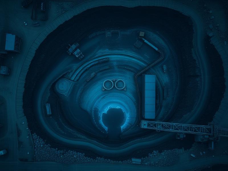
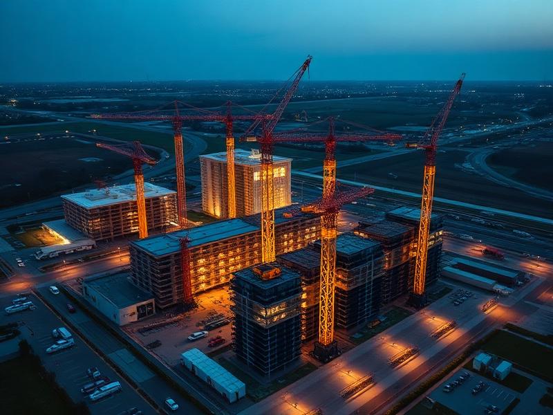
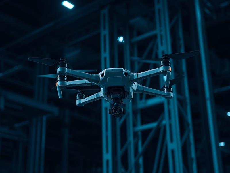
Ejesmapa Technologies Private Limited (EMP) is a Bengaluru-based engineering and drone technology company with over 8 years of industry experience. We specialize in delivering advanced drone-based solutions, LiDAR mapping, engineering design, and custom technology applications for infrastructure, mining, railways, and industrial sectors.
Our approach combines innovation, precision, and practical engineering expertise to solve real-world challenges efficiently. We work closely with clients to design tailored solutions that improve accuracy, reduce costs, and accelerate project timelines.
Comprehensive drone and engineering solutions tailored for mission-critical industries.
What sets us apart in the drone and engineering industry.
Deep domain expertise across infrastructure, mining, and industrial sectors.
Unique blend of drone technology with traditional engineering for comprehensive solutions.
Every project gets a tailored approach designed for specific requirements and challenges.
Survey-grade precision with validated data outputs you can trust for critical decisions.
Efficient workflows and processes that deliver results ahead of schedule.
From initial consultation to final deliverables, we manage every aspect of your project.
Serving mission-critical sectors with precision drone and engineering solutions.
Cutting-edge tools and platforms powering our solutions.
Multi-rotor & fixed-wing platforms for diverse applications
High-density point cloud capture for precision terrain modeling
Advanced software for orthomosaic & 3D model generation
Industry-grade design and analysis tools
Intelligent data processing for actionable insights
Ready to start your project? Reach out to us and our team will get back to you within 24 hours.
Bengaluru, India
ejesmapa.com | axesmap.com
contact@ejesmapa.com